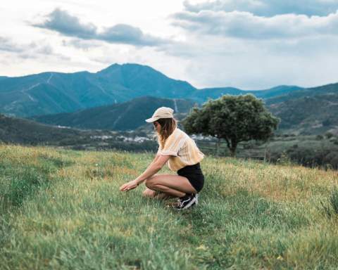
Serra d'Irta
Alcala de Xivert- Alcossebre Council has announced a new map showing the Walking Routes in the Sierra d’Irta
![[Img #37899]](upload/img/periodico/img_37899.jpg)
The Alcala de Xivert-Alcossebre Council, together with Editorial Piolet, a specialist in maps for mountain climbing and walking, is working to produce a complete map of the Walking Routes in the Sierra d’Irta, to be ready in a few months time.
Preparations for this project have involved working meetings between Editorial representatives, municipal technical staff and council departments, and collaboration with the Club Muntanyenc Serra d’Irta, to discuss the details of everything the map will show. In addition to the Walking Routes, it will include information on points of interest for tourists, places to go climbing or pot-holing, and natural areas. There are over 60 kilometres of paths in total, endorsed for all levels, which start from both Alcala de Xivert and Alcossebre, with linear and circular routes